Chapel Street, Angel Lane and Bredfield Street

Chapel Street

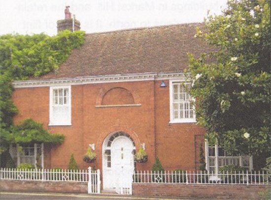
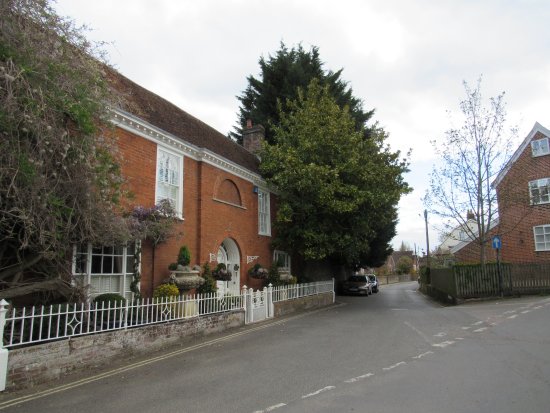
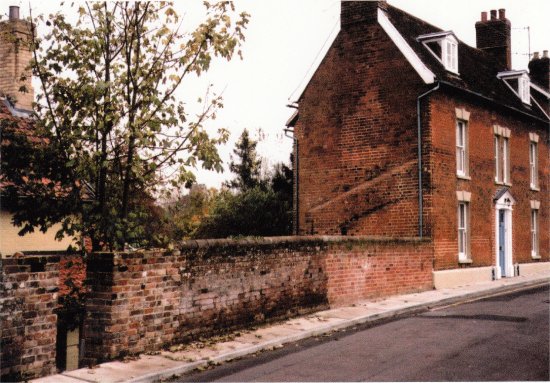
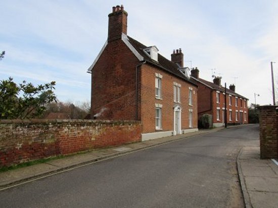
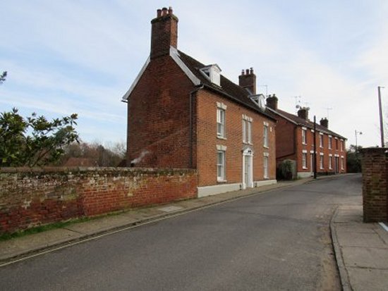
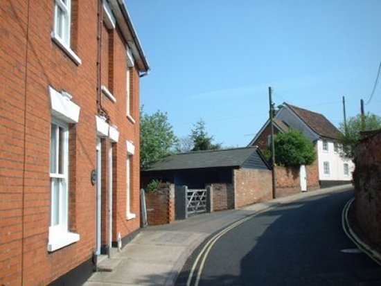
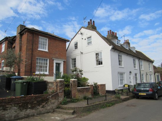
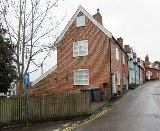
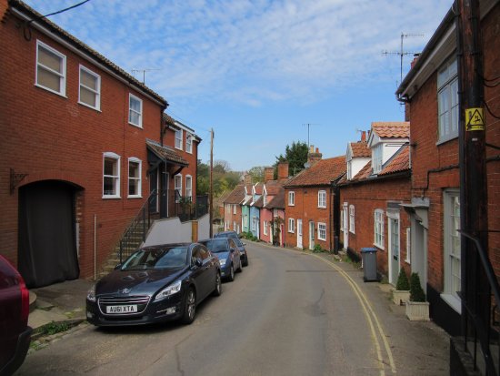
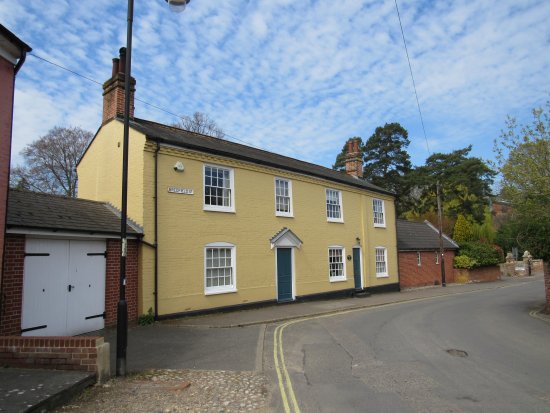
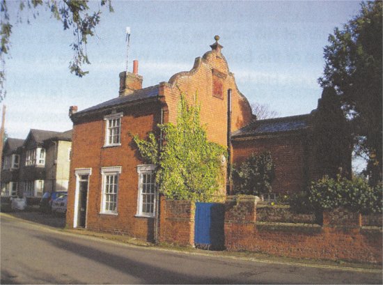
In 1840 Cabul Cottage was at the entrance to Chapel Street. By 1900 Cabul Cottage had become Burkitt House. It is the most impressive of the houses in the area and it appears to have changed little since 1840.
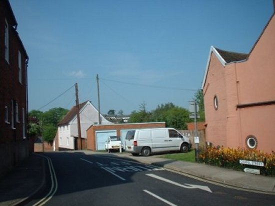
Burkitt House is on the left of this photograph. Chapel Street is on the right.

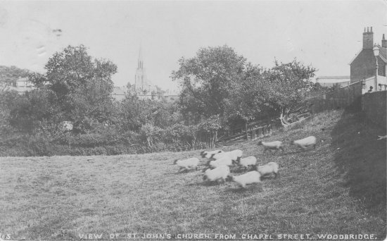
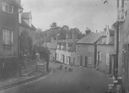
Beyond Burkitt House, Chapel Street ran along side Ship Meadow, which is named after the Ship Inn which once stood where the Beaumont Chapel now stands.

Ship Meadow Walk crossed the valley and linked Chapel Street and Castle Street.

Across Suffolk the vernacular for sheep was ‘ship’. The meadow between Chapel Street and Castle Street was thus referred to as ‘ship’ meadow. Hence the often repeated claim that ships were able to reach Bredfield Street. An amazing feat when you consider that The Thoroughfare is 5 meters above sea level and that Ship Meadow is 15 meters above sea level.

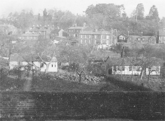
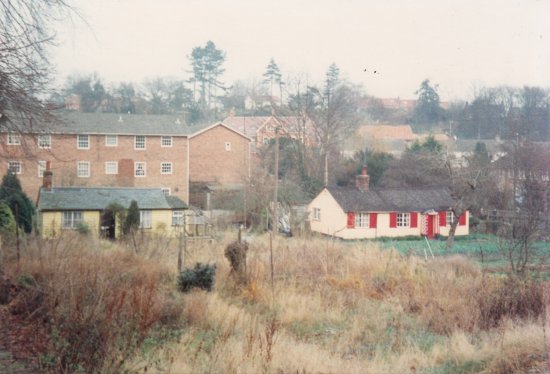
This photograph shows the valley between Chapel Street and Castle Street. The Naverne Brook flows along the bottom of the valley and this is where the fleeces from the sheep were washed and dried. The earliest maps of the area shown sheds near the brook and presumably they were associated with the production of wool.

The sheds survived the building of Lockwood Close which is the background of this photograph.

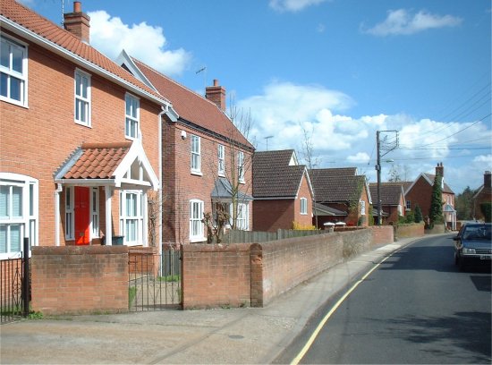
The sheds also survived the building of the row of six houses were eventually built along side Chapel Street.

At the end of this line of houses there is a very attractive building named The Garden House.

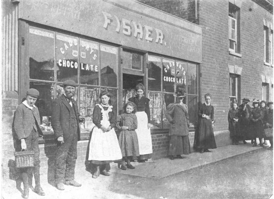
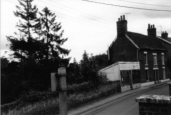
This earlier photograph shows that there had been one storey shop at end of the house. In both the 1925 and 1935 trade directories it is recorded as a being sweet shop.
By 1990 the former sweet shop was in a dilapidated condition but, for a while, the planning application to demolish it and build a house on the site was contested.

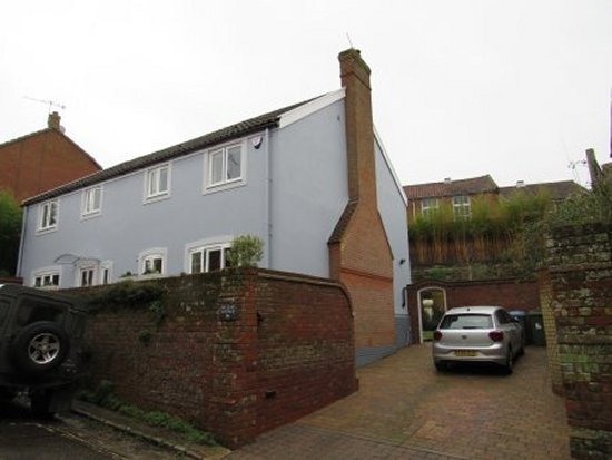
By 2000 the former sweet shop had been demolished and a new house had been built on what used to be part of its gardens. These gardens were about 3m below the the level of the road so the access to the new building was via the driveway of The Garden House.

The sweet shop had a skillion roof and roof line is still evident on the side of the house.

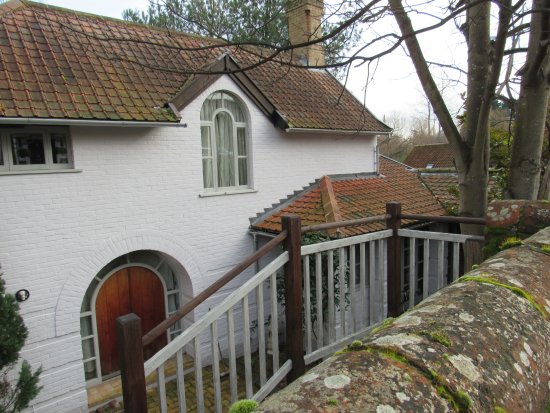
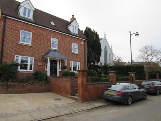
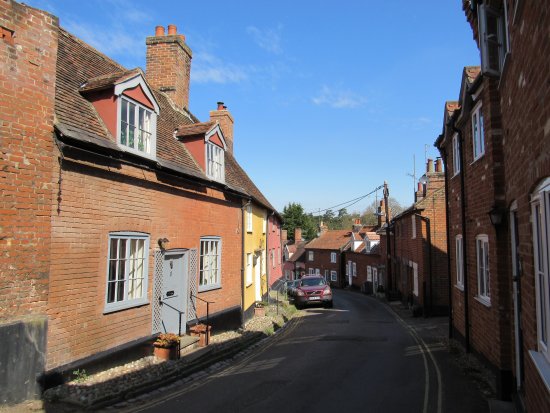
The house in the centre of this photograph is now called The Garden House. In 1840 there had been two cottages on the site but, by the time this photograph had been taken it, had been transformed into an elegant three storey house.
Pedestrian access to the ‘sunken’ house was eventually simplified by installing a gateway in the wall running alongside the road. From the gateway there is a wide and attractive staircase leading to the front door.
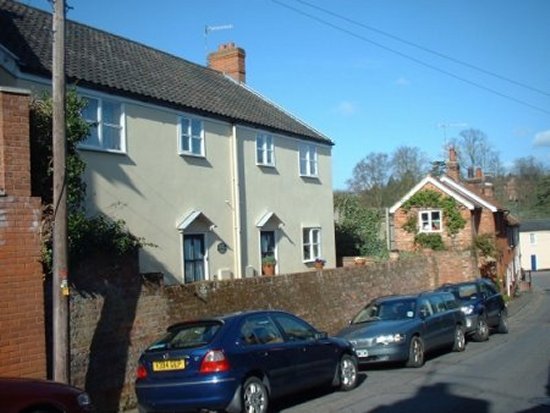
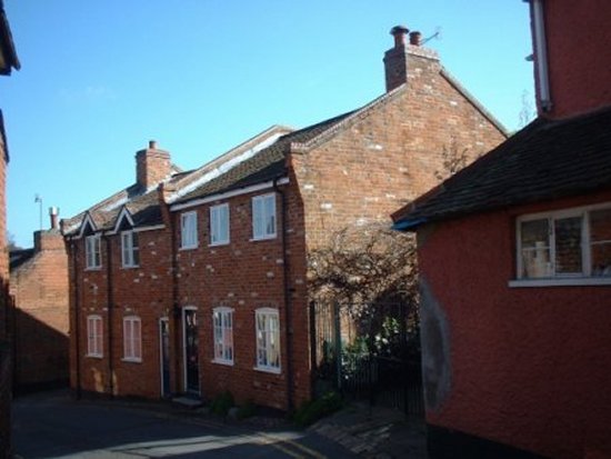
Beyond The Garden House, which is in the centre of this photograph, there is a terrace of four houses. They were built on the site of blacksmith’s smithy and line of cottages which was almost at a right angle to Chapel Street. This change occurred some time 1880 and 1904.
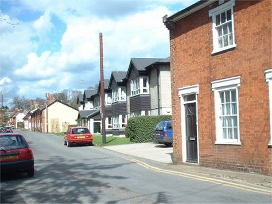
Sometime between 1926 and 1950 a pair of cottages, which were roughly where the gate is on this photograph, was demolished. This made it possible to enlarge the garden of the whitewashed house at the entrance to Chapel Street, and to provide a driveway and garage for the house.
During the same period, three cottages at the entrance to Chapel Street were demolished to create garages and parking spaces for The Old Court House, an Abbeyfield retirement home, on Market Hill.
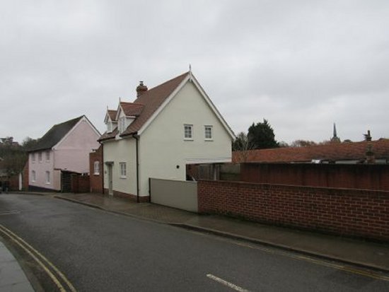
In about 2019, The Old Court House was sold to a property developer who split the building into a number of apartments. He also demolished the garages and a parking area, which had previously been reserved for The Old Court House, and replaced it by small house with an enclosed parking area.

The southern side of Chapel Street has changed little since 1804. Apart from the Beaumont Chapel, and a line of houses adjacent to it. All the gardens, driveways and garages have to be reached by either a passage from Market Hill or by a drive way from Angel Lane.

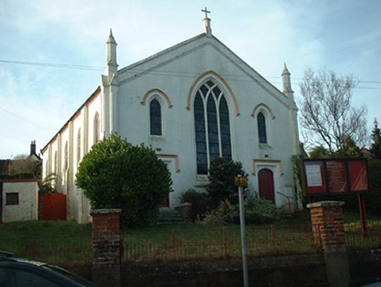
The worship in the Beaumont Chapel was congregational and there were close links with the Quay Congregational Church until 1904. At that time the Beaumont Chapel and was influenced by the strict Baptist Chapel in Grundisburgh. In 2006 the links with the Quay Congregational Church were re-established and it was decided to close the Beaumont Chapel and to apply for planning permission to turn it into a house.

When the conversion was completed the adjacent, single storey Church Hall, was demolished and was replaced by a house.

This photograph show the Beaumont Chapel before it was converted into a house. The only exterior change involved removing all the foliage in front of the building creating a large forecourt for parking.
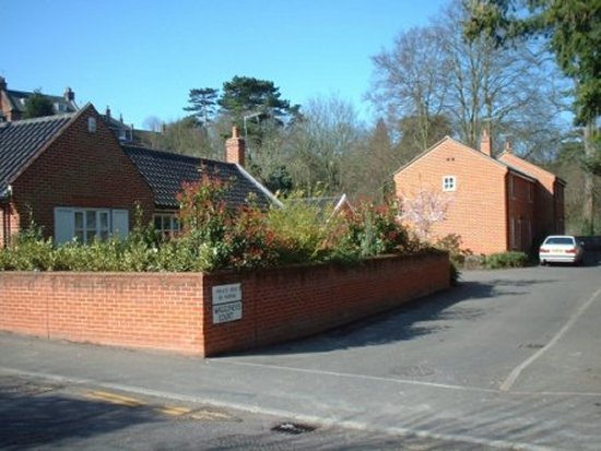
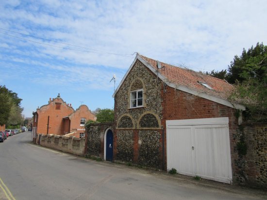
These three buildings are the only other houses on northern side of Chapel Street. To the left of the angular red brick house there is a substantial parking area.

Angel Lane

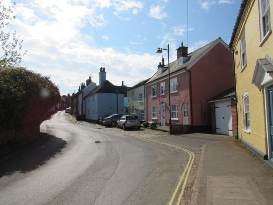
The impressive Georgian house, which right of centre in this photograph, is at the bottom of Theatre Street.
By 1840 most of Angel Lane was lined by closely packed cottages, but at the junction of Angel Lane and Chapel Street there was a small garden. Planning permission was granted in 2010 to build a house and parking space on the garden. This house was a close match to the adjoining property and only a slight change in the colour of brickwork makes it possible to distinguish between the old and the new.
There is little change between this circa 1900 photograph of the bottom two thirds of Angel Lane and the 1950s photograph below.

Until about 2010 there was a section of the north-western side of Angel Lane where there had been no housing. This was because there was a steep incline between Angel Lane and the Auction Room on Theatre Street.

Eventually, by clever design and terracing, it proved possible to fill the gap with a detached house and a pair of semidetached house. These buildings were all at different levels.

The terracing behind the detached house is can be clearly seen on this photograph.

The ground floor of these two semidetached houses were at were at different levels.

In 1930 three local businessmen set up a jam factory at the top of Angel Lane to create employment in the town for women. The factory is believed to have been in the building at the junction of Angel Lane and Market Hill. It probably closed when the businessmen set up a canning factory on Hamblin gardens.

The closely packed houses on Angel Lane remained unchanged until the early 1950 when two houses at the top of the eastern side of the lane were demolished to make way for an outlet of Ken Blaxill, builders merchants and glass suppliers. One of the buildings which had been demolished had been a blacksmith smithy in 1840.

In 1983 the outlet of Ken Blaxill was relocated to a new industrial estate in Melton. Soon after the Angel Lane site was cleared the two houses in the centre of this photograph were built. They both fit in well with the surrounding older buildings. The residents have car parking spaces behind the houses.
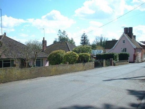
The Angel public house on Theatre Street is on the left had side of this photograph. The access to the cellar is just out of view.

The three semidetached houses and one detached house that line the left hand side of Angel Lane do not appear to have changed since 1840.

Bredfield Street

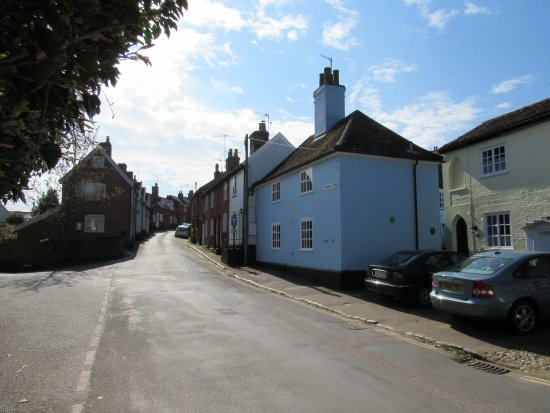
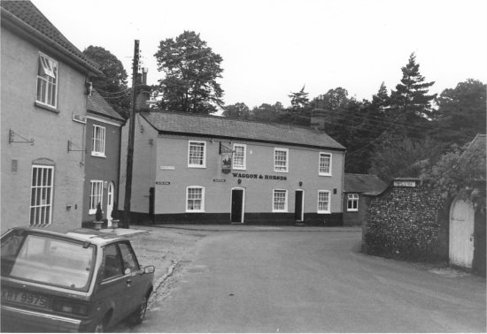
The Waggon & Horses Inn was at the entrance to Bredfield Street.
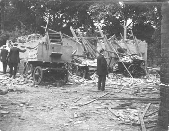
On the 12th August 1915 a single Zeppelin flew over Woodbridge and dropped a total of 28 high explosive and incendiary bombs. The outhouses of the Wagon and Horses Inn was one of over a hundred buildings destroyed or damaged during the raid.
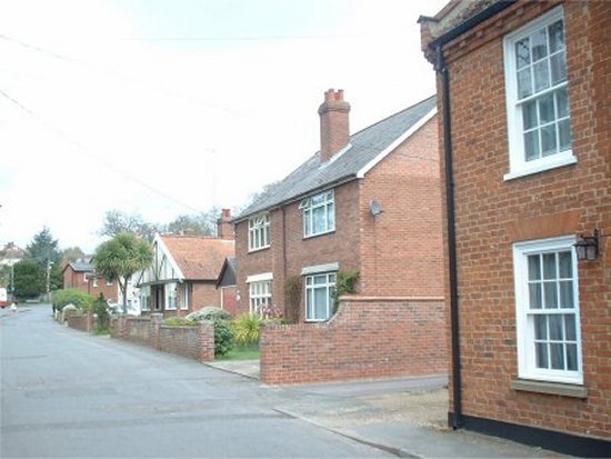
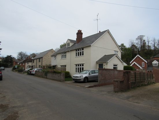
When the Wagon and Horses Inn closed in about 1985 the building was restructured to create two houses.

Five new houses were eventually built on what used to be the rear yard of the Inn. Access to these five buildings and their garages was via Waggoner’s Court. In the early 1800s there is a reference to the there being a cross in the area formed by the junction of what is now Angel Lane, Chapel Street and Bredfield Road. This area was referred to as St Peter’s Square.

In 1895 New School House was erected and the grounds to the western side of Bredfield Street were enlarged to 34 acres. As part of the preparatory work, eight cottages on the western side of Bredfield Street were demolished in 1891 and the was material sold by auction.

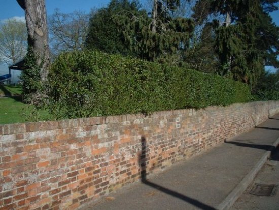
Lamberts Almanac notes “an ugly farm-yard wall has been put up to enclose the property. We trust that the new building and other work will be carried out in a more elaborate and tasteful manner.” Most of the wall is now in front of a six foot high hedge.

This rather strange looking building, which has been converted into a house, is probably associated with Burkitt House.
This two storey house has red brick walls Flemish gable slate roof. It is grade two listed building and is dated 1836.

During the 1960s, a line of cottages opposite the lower entrance to Woodbridge School were demolished to make way for the Felbridge Court – a retirement home.

Felbridge Court initially had a flat roof. The present gabled roof was added later.

A maltings midway up Bredfield Street was auctioned in 1876 and was demolished soon after. The only part which remained had, at one time, been the Plough and Sail Inn and it eventually became a private residence.

The demolished area was not built on until the 1960s when it was used for two bungalows which were below the level of the road.

Further on up Bredfield Street there was a semi-detached house and a bungalow which were built on what used to be a garden. There was also two driveways providing access to garages and parking between Bredfield Street and Castle Street.

The semi-detached house and the bungalow were given a make over in about 2015.

The semidetached house and a garage were combined to a single dwelling and it appearance was improved by cement cladding which had a yellowy-green colour wash.

The bungalow was converted into a two storey house which was a much better fit with the surrounding buildings.